We often receive questions from clients to understand the difference between a 360 virtual tour and an interactive map. If you have never created a virtual tour, it can be quite a learning curve with all the different terminologies and technologies mixed in with the buzzwords flying around. They have a lot of overlapping features but are inherently very different from each other. So let’s explore the differences between 360 virtual tours and interactive maps.
Difference Between a Virtual Tour and Interactive Map

What is a virtual tour?
A virtual tour allows clients to see and interact with a virtualised real-world environment such as a venue, office, facility and more. This will enable them to experience the full scope of the property/space right in the comfort of their own home/office.
At Simply 360, we produce fully interactive and immersive 360 virtual tours custom-tailored for your needs/requirements. You can also integrate existing images, video, fonts, audio and more alongside your branding style/guidelines. The high level of integration lets your clients become fully immersed in a curated environment, feeling they are already there in person.
Our virtual tours are automatically VR enabled as part of our standard package. This means that you can put on your VR headset or Google Cardboard enabled smartphone and explore the tour. It literally places you inside the tour and gives the experience you are at the location.
The virtual tour below is a great example that uses many features that are standard in any of our virtual tours. Aside from brand integration, there is the use of traditional photography, video, VR interaction, and Google Maps integration right in the tour.
Double click in the virtual tour to make it go fullscreen, or click here
What is an Interactive Map?
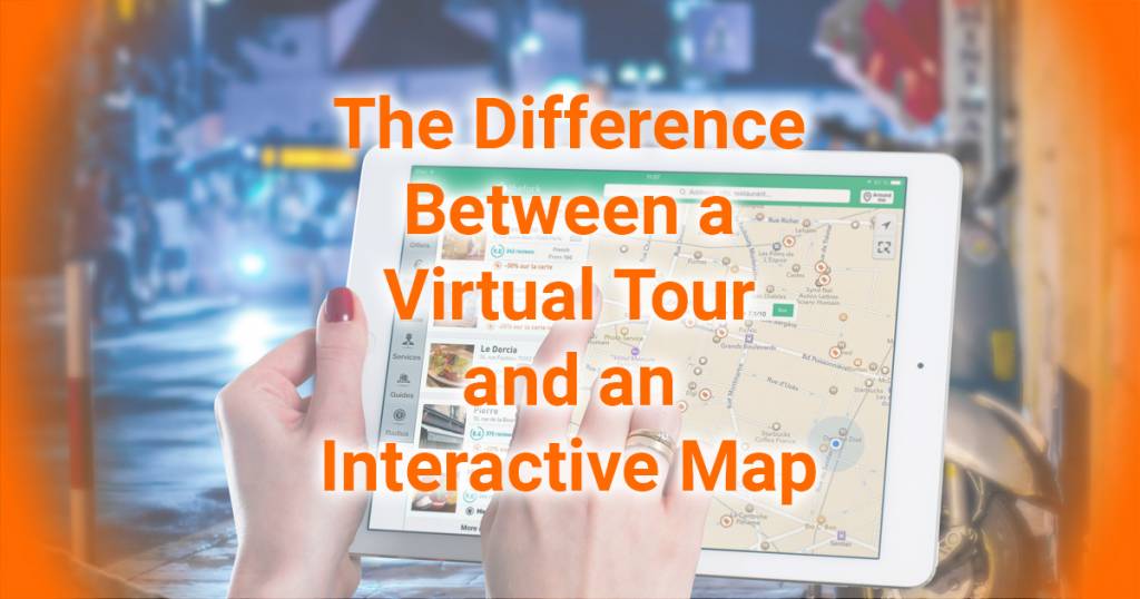
An interactive map is based on visualising map-based information to make data more engaging and easy to understand. On a technical level, they are known as Geographic Information System (GIS), a computerised system that analyses and displays geographic information with various additional information overlays. You can do this by zooming in, panning around the map, querying underlying data or generating reports.
You can incorporate all sorts of information into an interactive map, such as text, photos and links to external sources. The most well-known example is Google Maps, which has multiple layers of information, including satellite, traffic elevation, etc. There are also specific information points such as addresses, business information, photos (including 360 photos) and more.
When to Use a 360 Virtual Tour?
The main advantage of a virtual tour is to experience a real-world environment virtually. If you have a location such as an office or facility, you will be able to experience it firsthand (even in VR). There is also the advantage of adding additional information such as text, photos, videos, audio and clickable links. You can even design the UI to match your brand’s look, feel and style.
You can also use virtual tours for marketing and advertising purposes. For example, you could create a virtual tour for your new product launch or for your company’s website. In addition, you could create a 360 virtual tour to promote tourism in your city or area.
When to Use an Interactive Map?
An interactive map is used when you want people to help people understand an area better in a broader/wiser sense. Knowing where they are and how to get to other areas of the same place is important. A great example of this is the My Disneyland Experience app. It gives information about where you are, times and delays on rides and more. This app is excellent for visitors who want to find their way around Disneyland quickly and easily. The information provided and overlayed is relevant to the specific user/patron in question, including wait times, hotel/accommodation information and more.
Can You Combine The Technology – Interactive 360 Virtual Tour Map?!?!
The technology can be combined and integrated with each other and can easily use elements of both. For example, a 360 virtual tour can incorporate floor plans to show where an image is in relation to other locations. Alternatively, an interactive map can add 360 photos in specific locations to see what it looks like at that point. A great example is using 360 images in Google Maps to show the address looks in real space.
Below is an example of a virtual tour for the City of Parramatta, incorporating a floor plan for one of their community spaces. While simplified, it’s an interactive map where people see each position in the building in relation to its layout.
Double click in the virtual tour to make it go fullscreen, or click here
Conclusion – Virtual Tour and Interactive Map: There Is a Difference
Both 360 virtual tours and interactive maps have different use cases. The key focus to take away is if you need a tool to help find your way around a large area, then an interactive map is recommended. If you want the user to experience the location as though they are there in person. This is where you would use a virtual tour. A virtual tour can incorporate maps, floorplans and more.
Contact us today to see how we can assist in creating a 360 virtual tour, interactive map or a combination of the two. You can reach out by filling out the form on this page via email, call us or book a time for a consultation with one of our 360 virtual tour consultants.
Additionally, check out our blog explaining the difference between a video walkthrough and a virtual tour.
Do you think we left anything when it comes to a discussion about the differences between a virtual tour and an interactive map? Have you thought about using a virtual tour as a marketing/sales tool for your school, campus or facility? What elements are you looking to incorporate into your interactive map or 360 virtual tour project? Join the discussion down below, leave a comment and let us know what you think :)


Itís difficult to find experienced people in this particular subject, but you sound like you know what youíre talking about! Thanks
Thanks Vy; we have been creating virtual tours and virtual experiences since 2017.
An intriguing discussion is definitely worth a comment. I do think that you should write more on this subject matter, it may not be a taboo matter, but usually people don’t discuss these issues. To the next! Many thanks!!
I need to thank you for this great read!! I absolutely loved every bit of it. I have got you bookmarked to check out new stuff you post.
I do agree with all of the ideas you have presented in your post. They’re very convincing and will definitely work. Still, the posts are too short for novices. Could you please extend them a bit for next time? Thanks for the post.